Arterra Sense is a technology company focused on integrating Geographic Information Systems (GIS), Remote Sensing, and Artificial Intelligence (AI) to solve real-world challenges through spatial intelligence. We turn satellite imagery and geospatial data into actionable insights—supporting industries to move faster, think smarter, and act more sustainably. From land use monitoring and climate analysis to infrastructure planning and risk assessment, we enable decisions that are grounded in data and scaled with technology. With a multidisciplinary team and advanced tools, we help bridge the gap between raw spatial data and strategic impact.
At Arterra Sense, we are committed to seeing the unseen revealing hidden patterns, forecasting change, and extracting meaning from complexity. This guiding principle shapes everything we do: not just visualizing what is already visible, but uncovering the signals that drive meaningful action. By combining domain expertise, machine learning, and cloud-based processing, we deliver geospatial solutions that are technically robust and strategically relevant. In a world shaped by rapid change, Arterra Sense empowers organizations to see ahead, act wisely, and lead with insight.
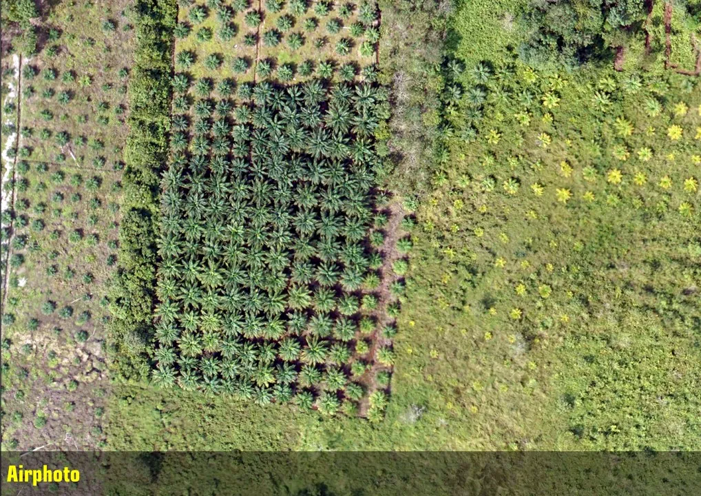
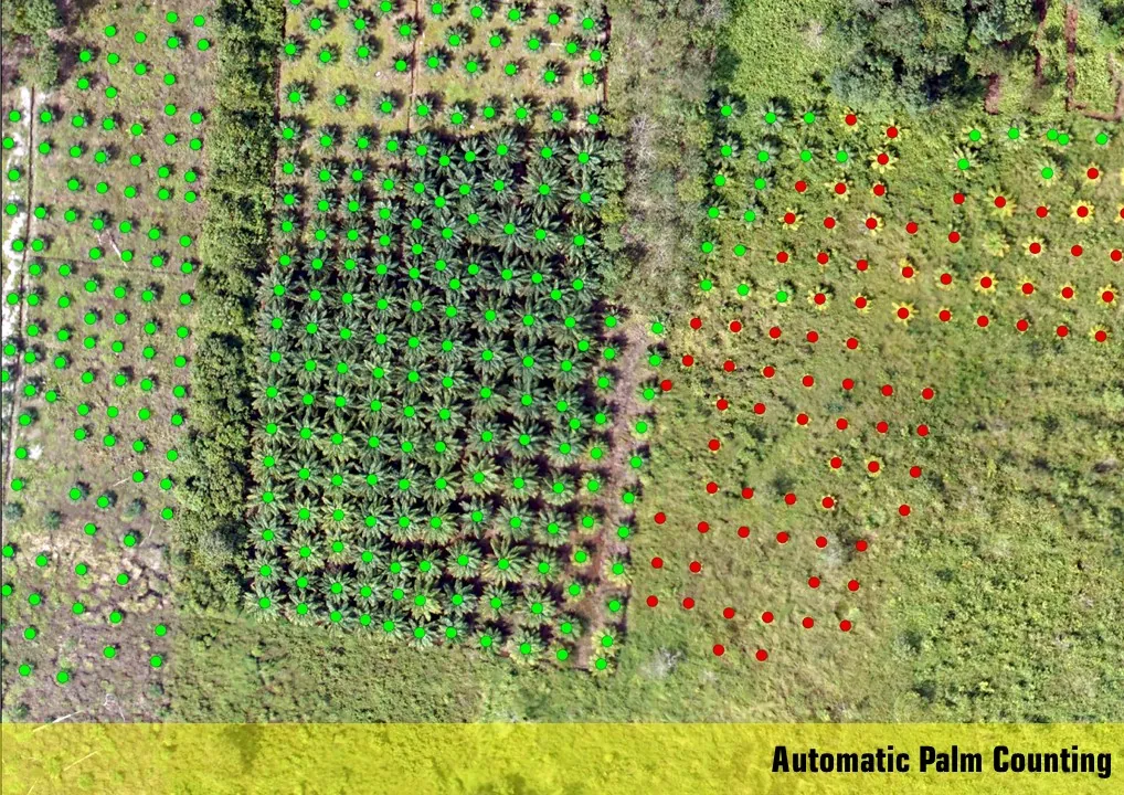
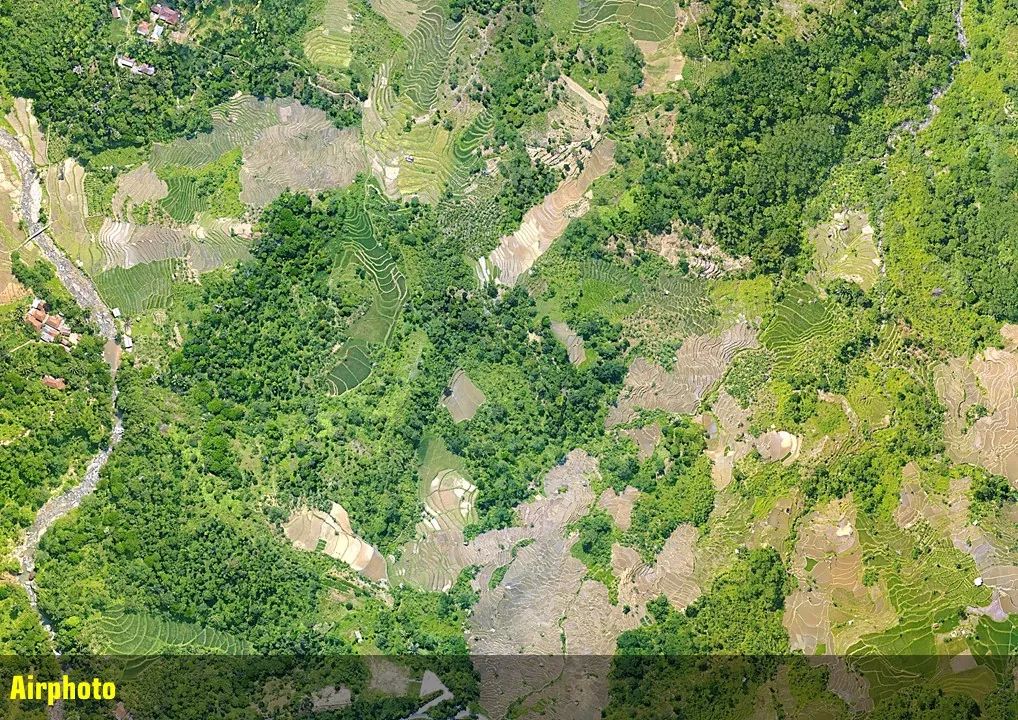
Digital Maps represent the Earth's physical surface including forests, agricultural land, water bodies, urban areas, and other land cover types. It plays a key role in environmental monitoring, land use planning, and tracking landscape changes. Using satellite imagery and spatial analysis, land cover mapping reveals patterns and changes that support better decision-making. Accurate land cover data helps organizations manage resources more effectively, respond to challenges, and plan for a sustainable future.
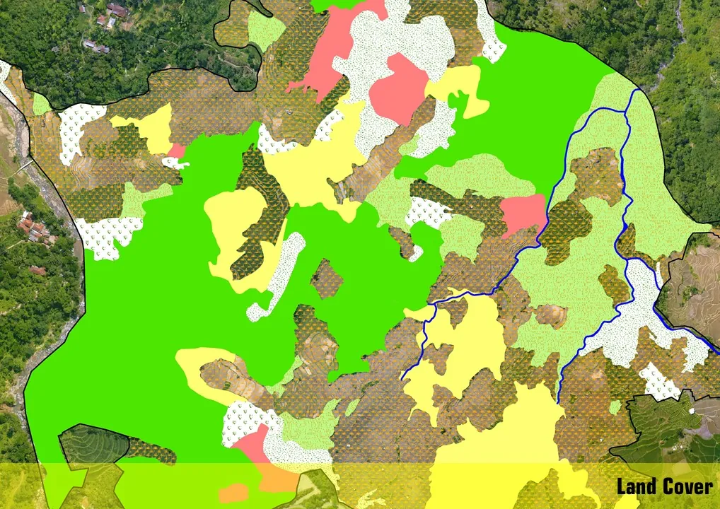
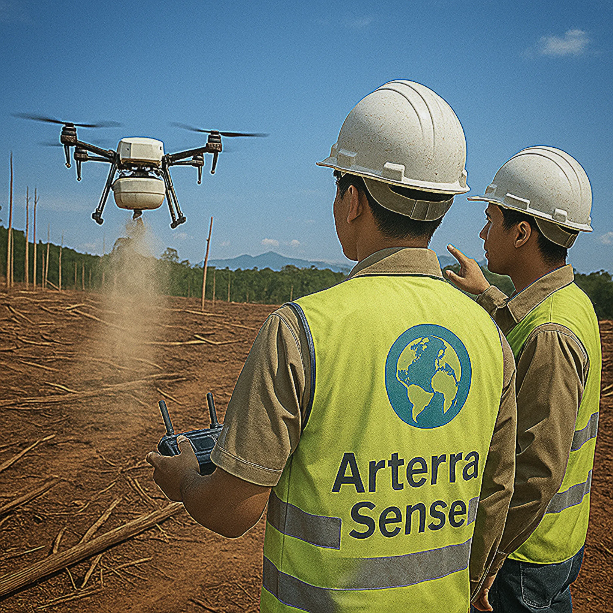
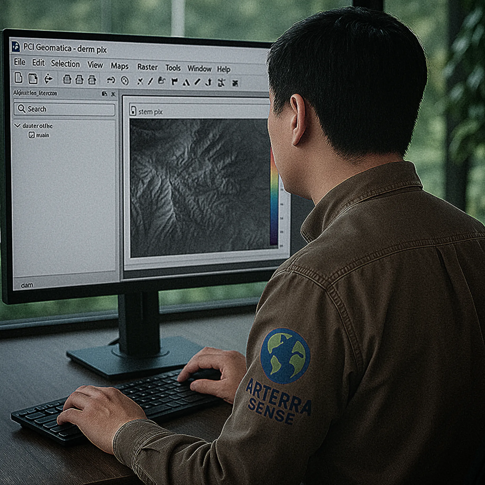
At Arterra Sense, nearly all of our land cover mapping processes are automated. This automation accelerates data processing, ensures consistency, and minimizes human error, allowing us to handle large volumes of satellite imagery efficiently. From image preprocessing and classification to change detection and accuracy assessment, our workflows are built to be scalable and repeatable. This approach not only boosts productivity but also enables us to deliver timely, high-quality insights for dynamic landscapes and fast-paced decision environments.
Arterra Sense provides smart geospatial solutions using GIS and remote sensing. We help you see the unseen by turning satellite imagery and spatial data into clear, actionable insights. From land mapping to environmental monitoring, we simplify complexity for better decisions.
We truly appreciate your interest. If you're curious about anything, feel free to reach out. We're here to connect, collaborate, and explore bold ideas together. Whether it's a question, a vision, or the start of something transformative, let's shape it into something meaningful and extraordinary.